

மாவட்ட செயலாளர்

அரசு சேவை மையங்கள்






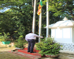
අම්පාර දිස්ත්රික් ලේකම් කාර්යාලයේ 2023 නව වර්ෂයේ ආරම්භය, අම්පාර දිස්ත්රික් ලේකම් ජේ.එම්.ඒ.ඩග්ලස් මහතාගේ ප්රධානත්වයෙන් ජනවාරි මස 02 වැනි දින සර්ව ආගමික වතාවත් වලින් පසුව ආරම්භ කෙරිණි. එය සංකේතවත් කරමින් කාර්යාල...
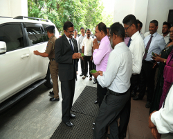
திரு.சிந்தக அபேவிக்ரம அவர்கள் அம்பாறை மாவட்டச் செயலாளராக தனது கடமைகளை 2023 ஜூன் 10 ம் திகதி மாவட்டச் செயலகத்தில் மதத்தலைவர்களின் ஆசீர்வாதத்துடன் தனது நிர்வாகச் செயற்பாடுகள் மற்றும் அபிவிருத்தி செயற்பாடுகளை மேற்கொள்ளுதல் அரசாங்க கொள்கைகளை செயற்படுத்தல் பொதுமக்களின் தேவைகள் பிரச்சினைகள்...
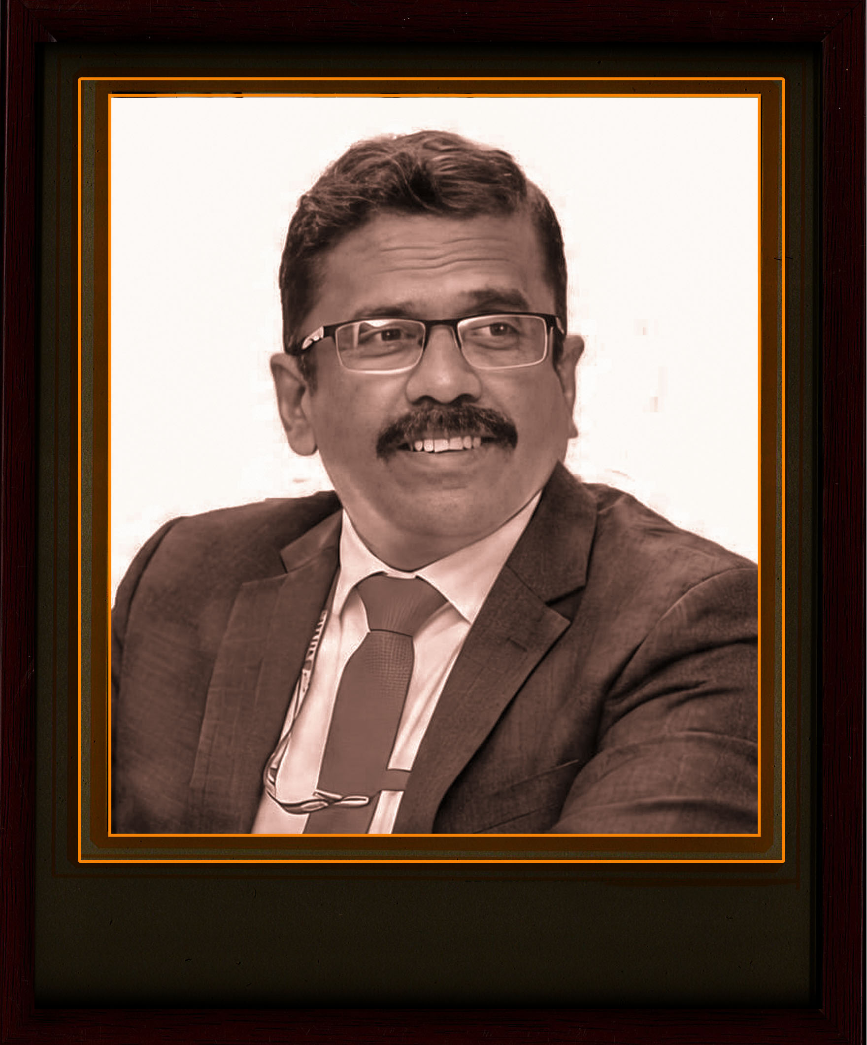
(2023_Jul to 2026_Mar)
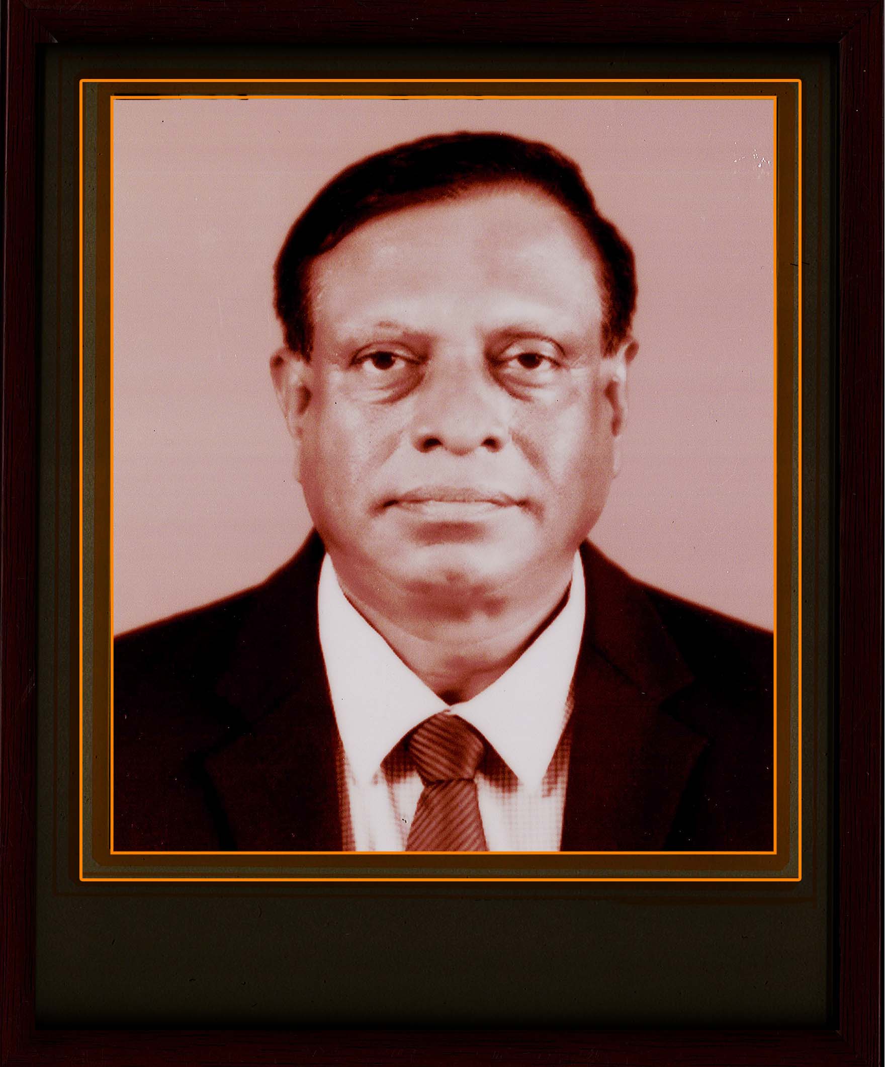
(2022_Jan to 2023_Jun)
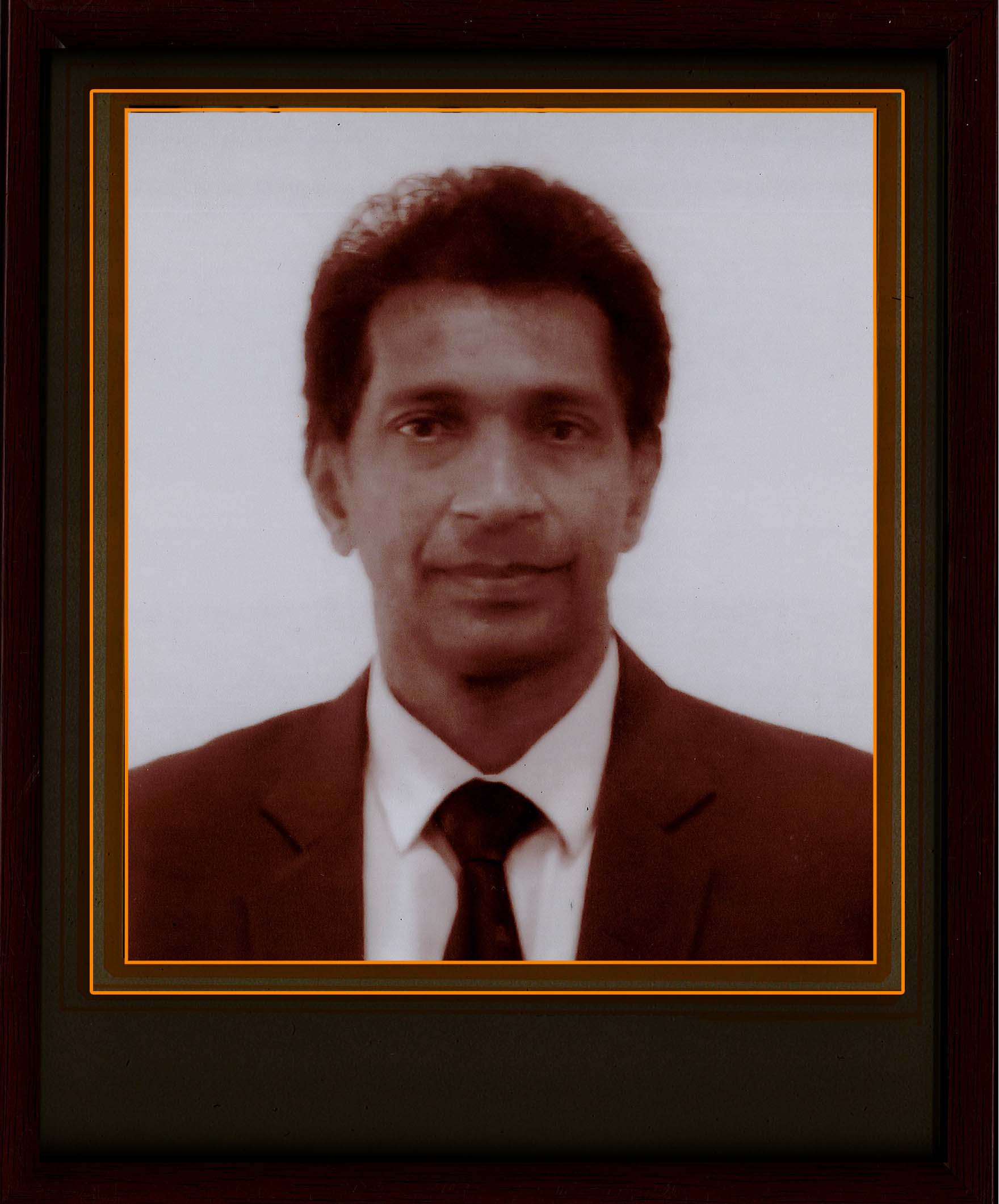
(2018_Aug to 2021_Dec)
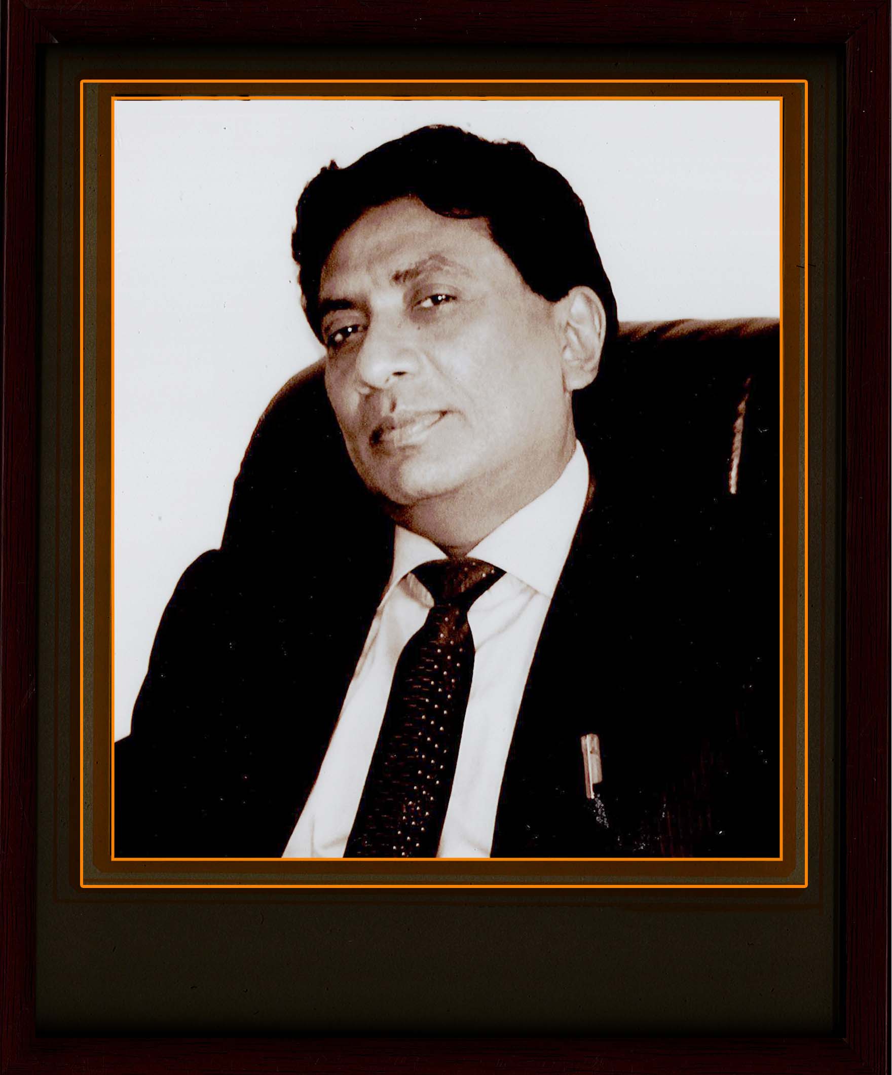
(2015_Mar to 2018_Aug)
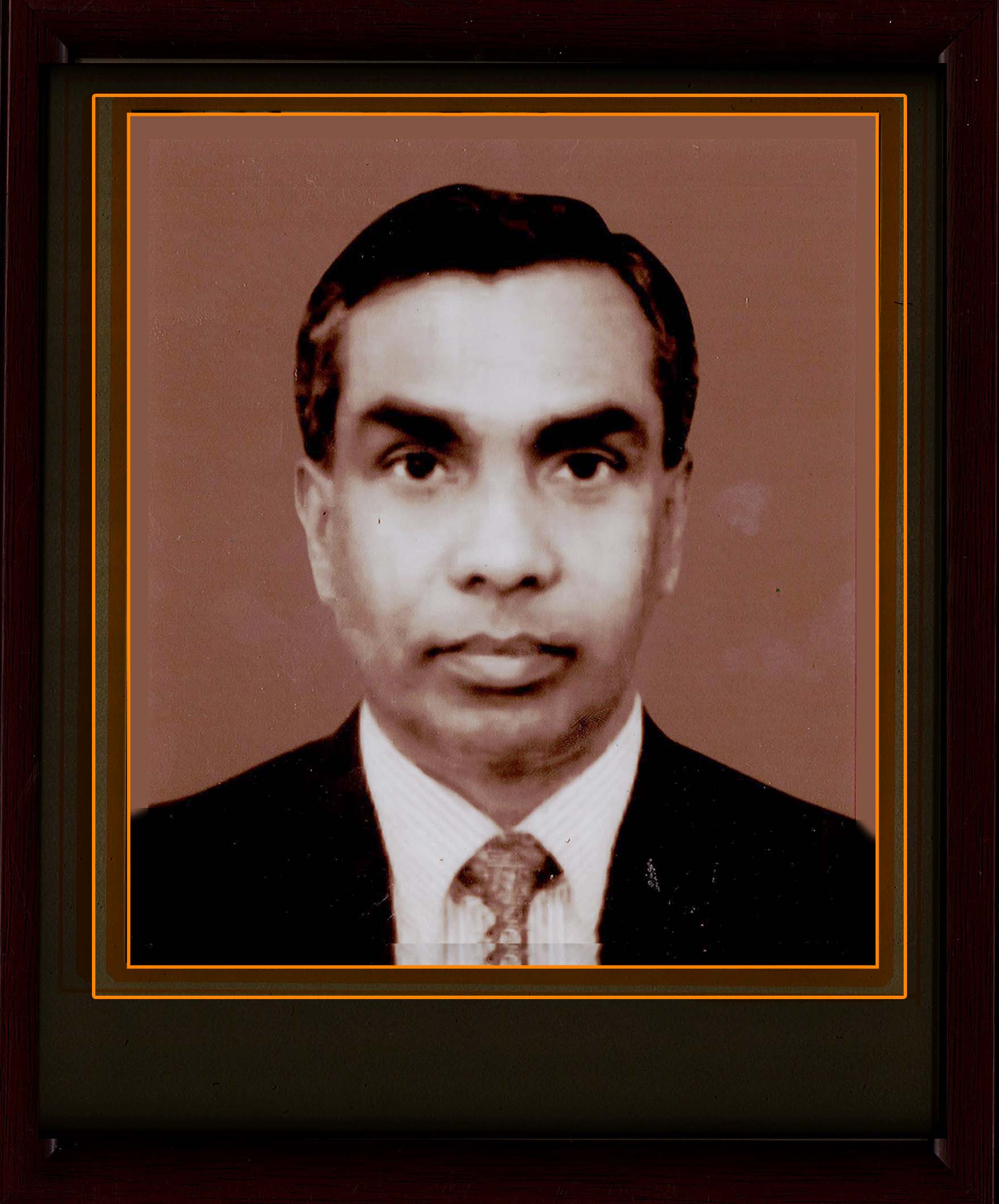
(2011_Nov to 2015_Mar)
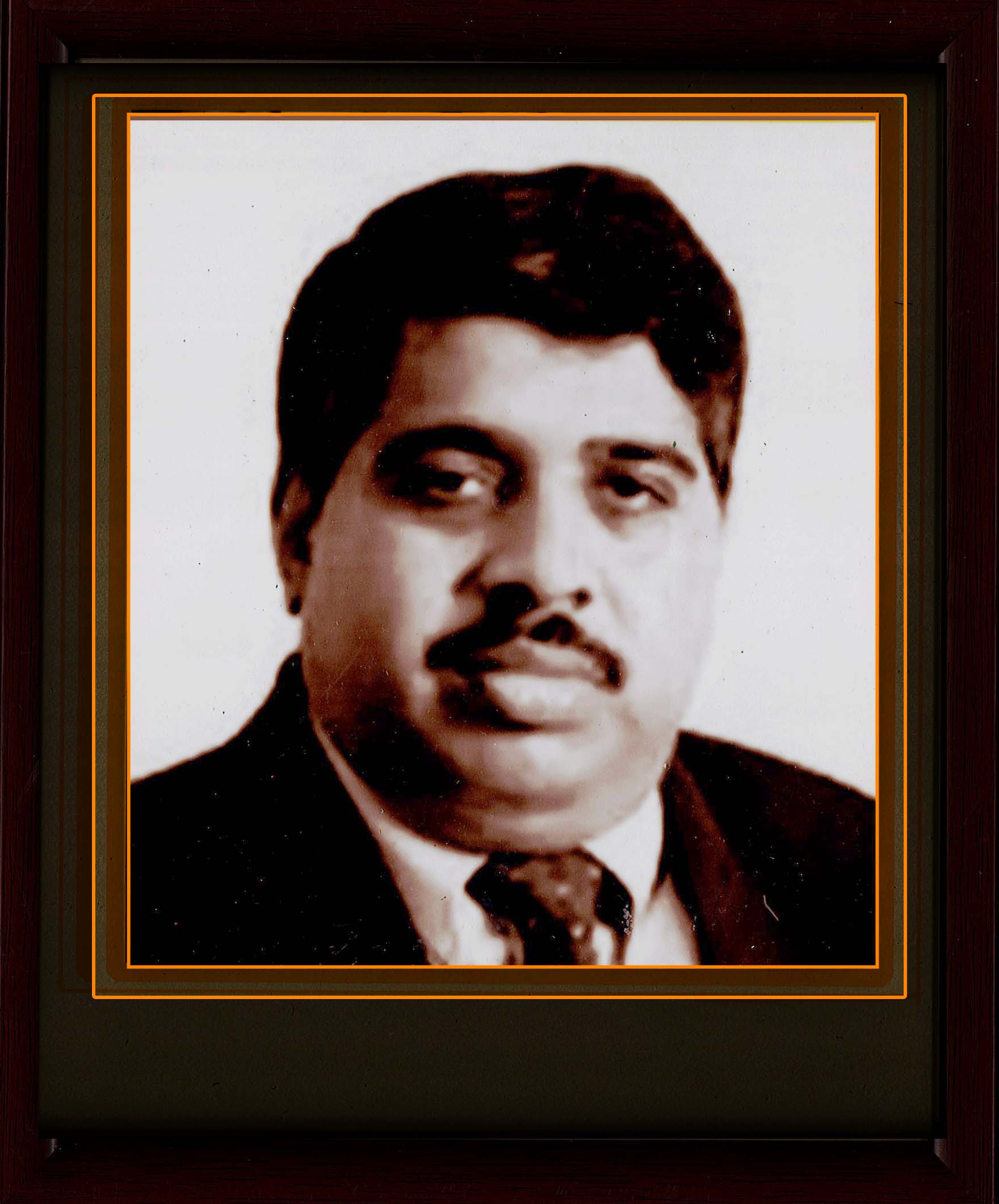
(2006_Dec to 2011_Nov)
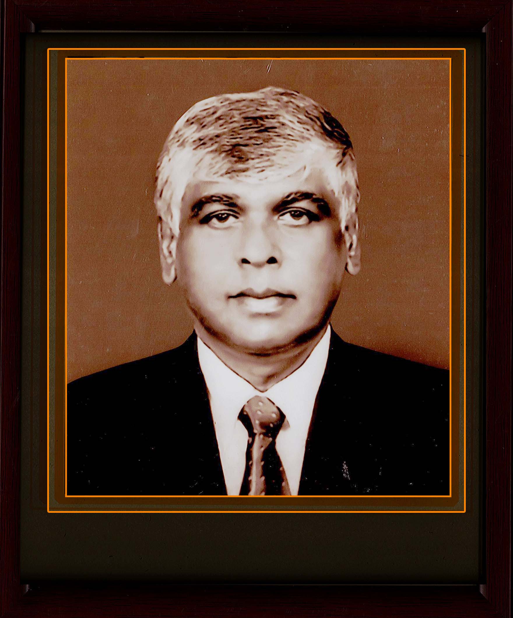
(2003_Dec to 2006_Dec)
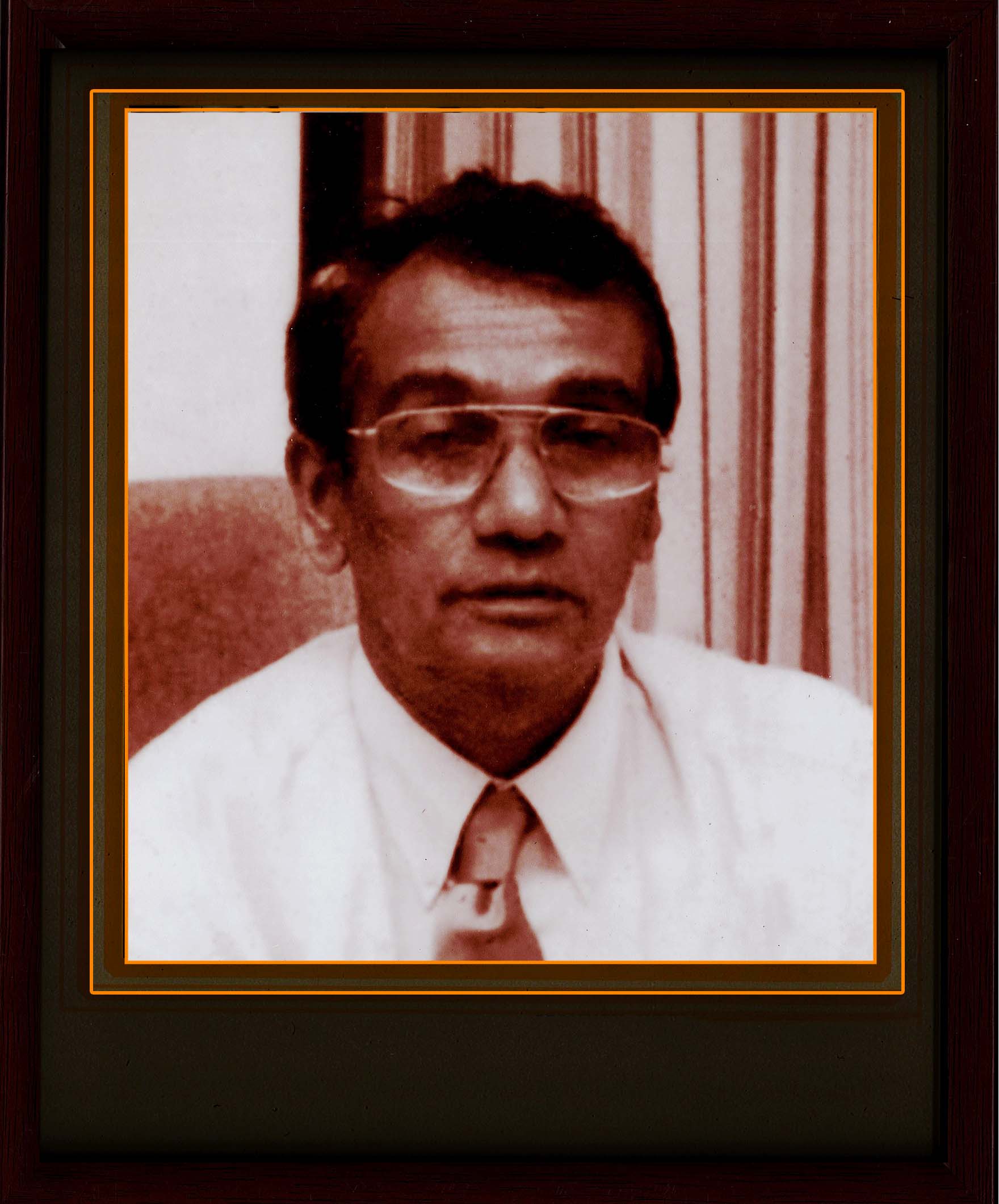
(2000_Apr to 2003_Jul)
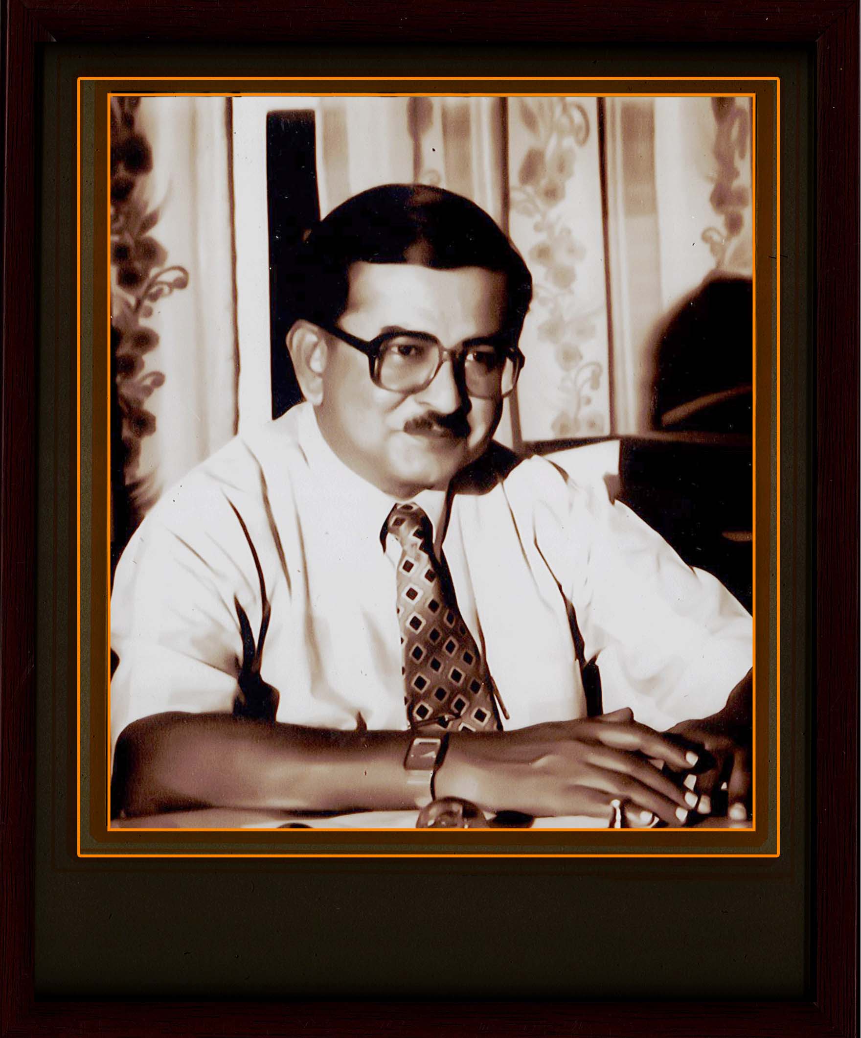
(1997_Oct to 2000_Apr)

(1992_Feb to 1997_Oct)
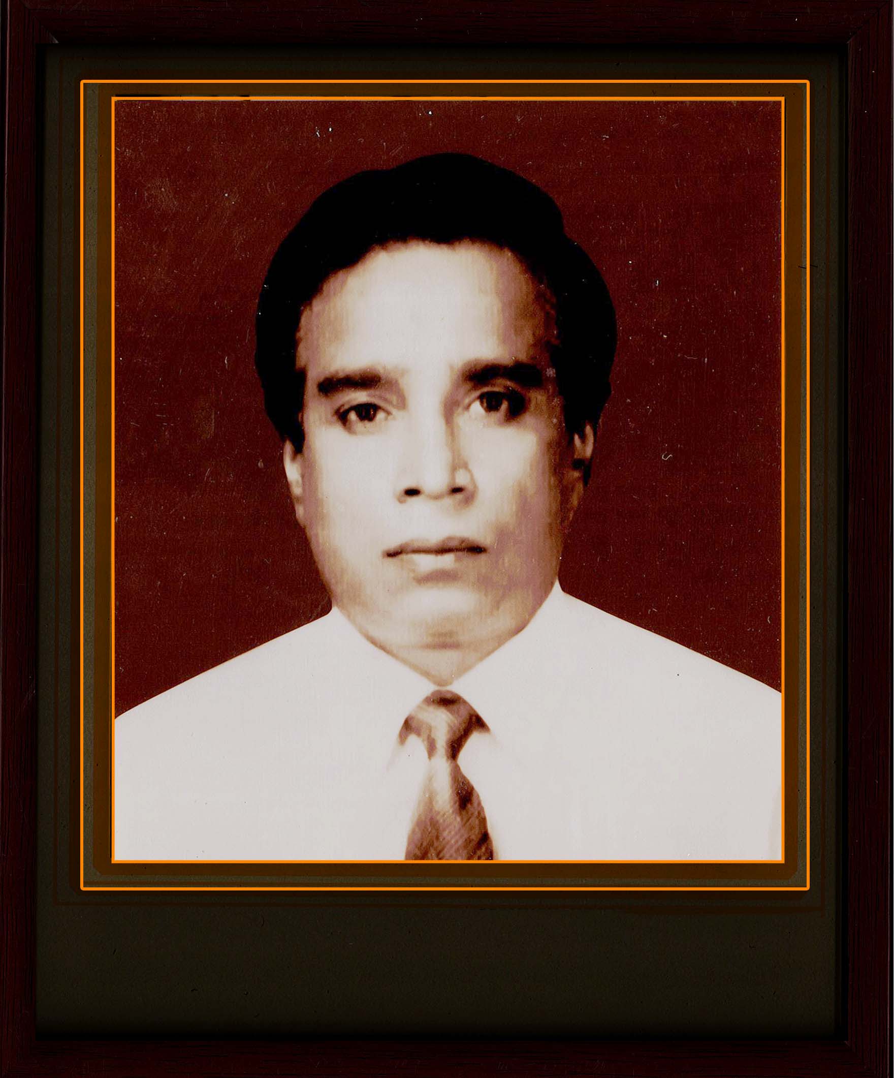
(1989_Mar to 1992_Mar)
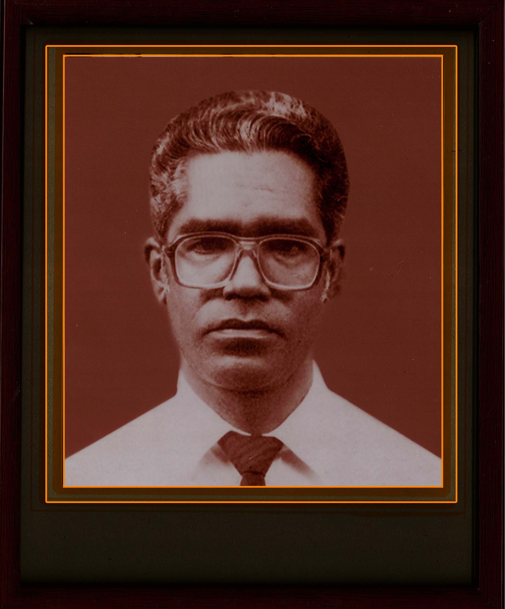
(1986_Jun to 1989_Mar)
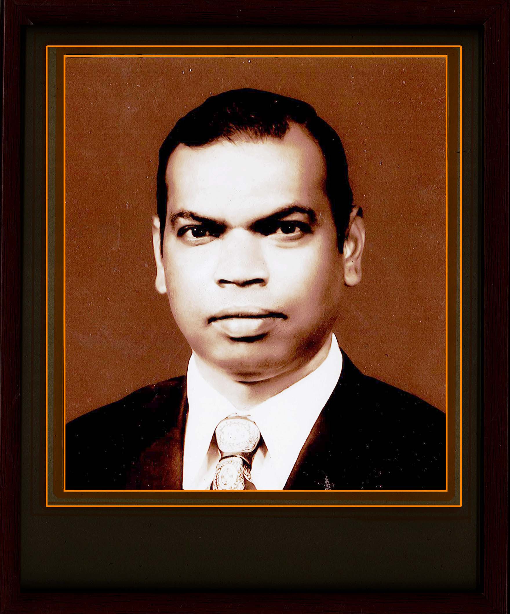
(1980_Feb to 1986_Jun)

(1978_Mar to 1980_Feb)
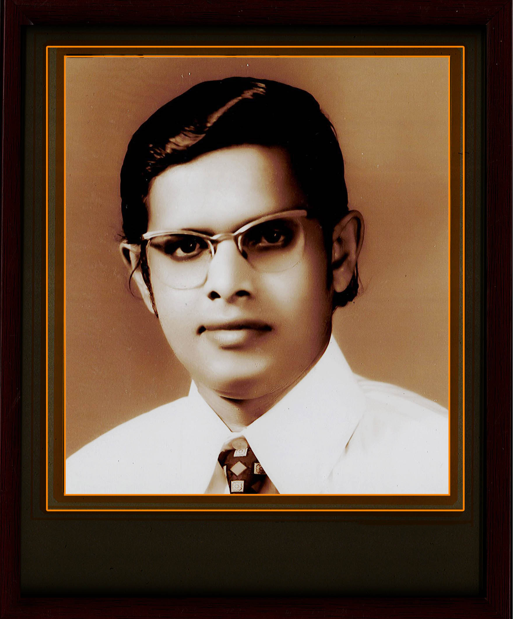
(1977_Aug to 1978_Feb)
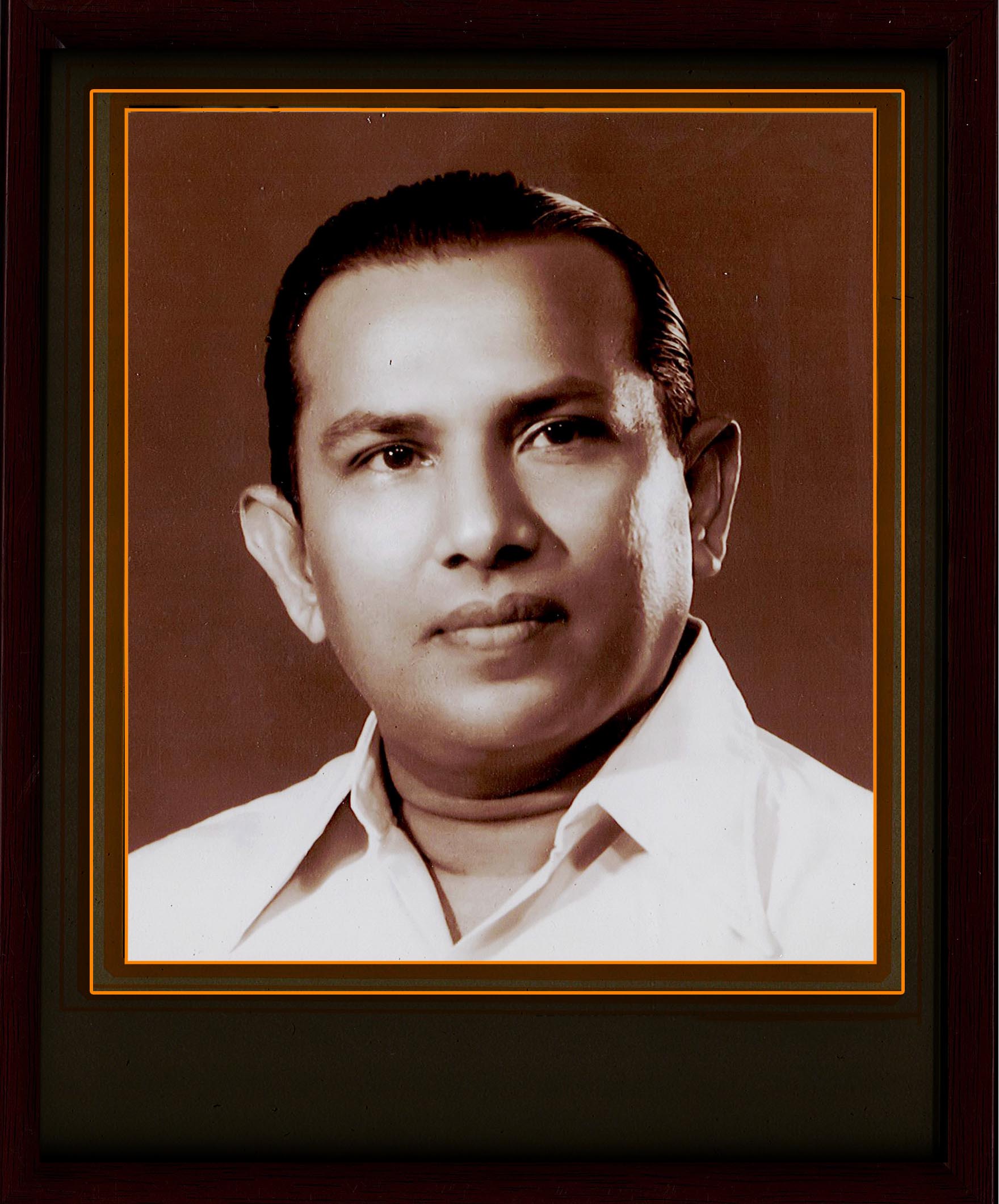
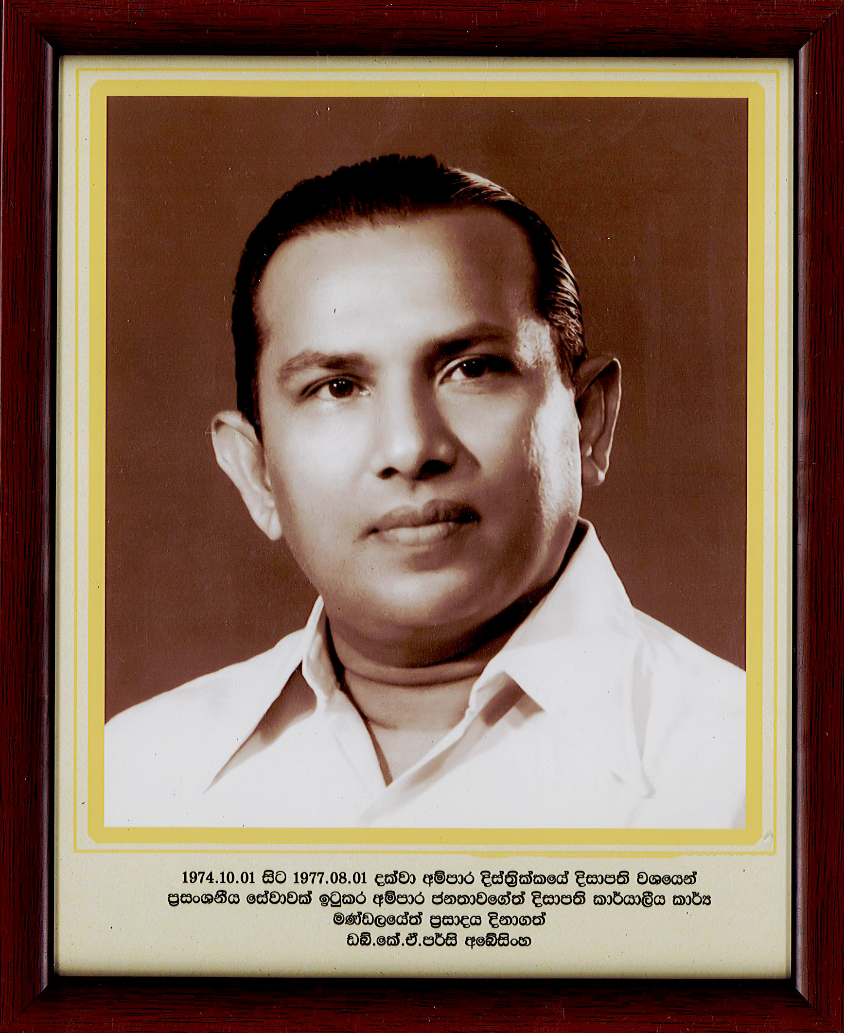
(1974_Oct to 1977_Jul)
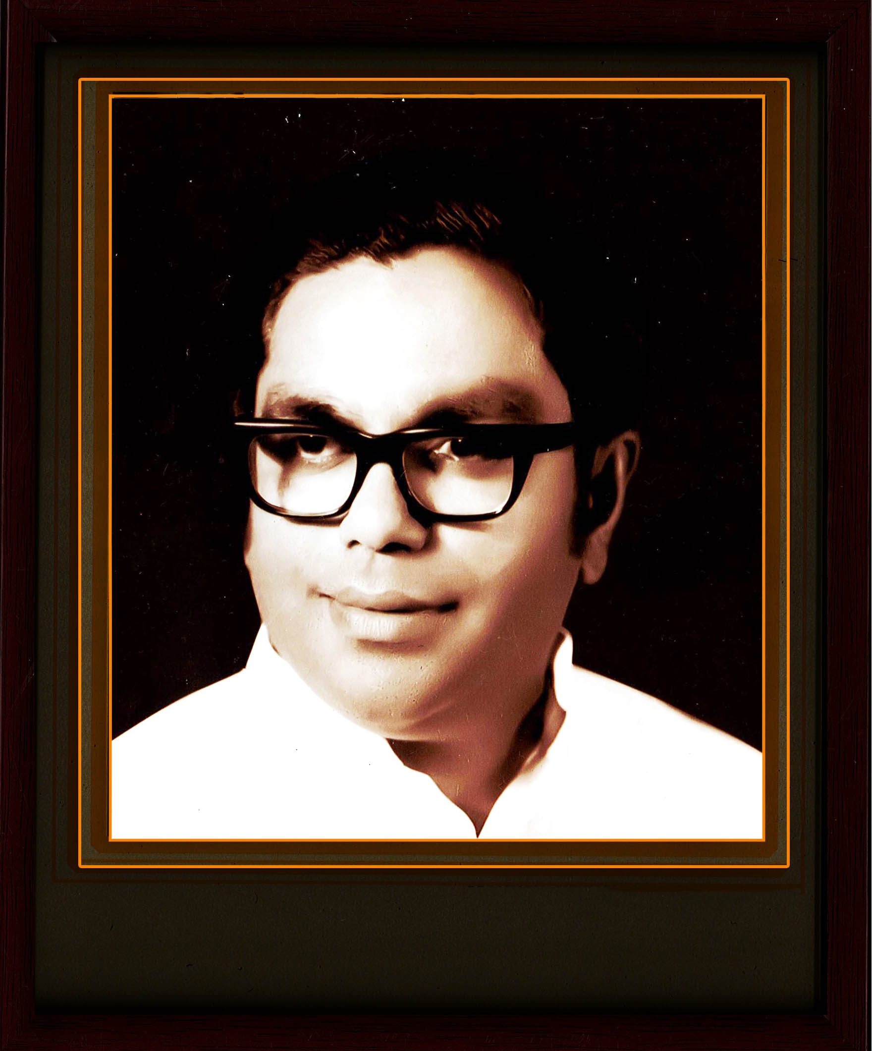
(1972_Sep to 1974_Sep)
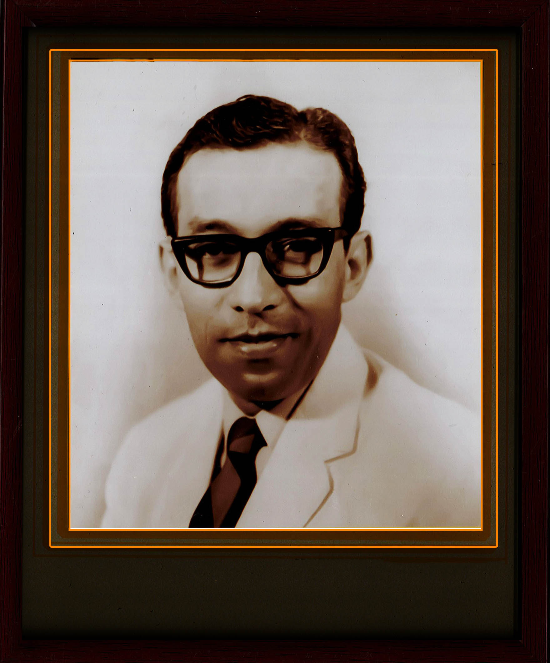
(1970_Apr to 1972_Aug)

Mr.Anupama Mangala Wickramarachchi
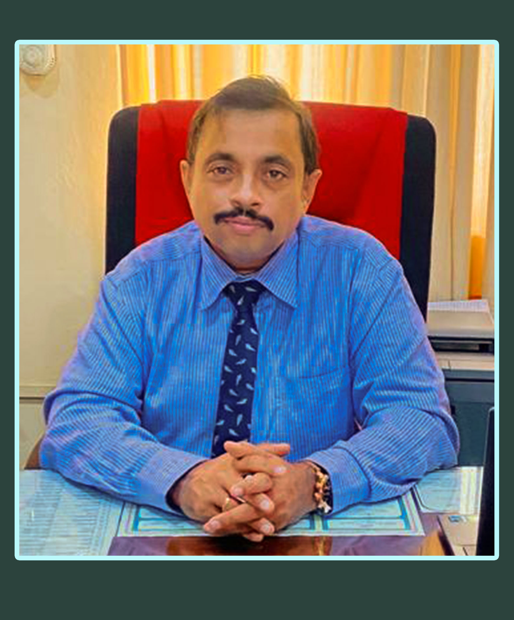
Mr. S. Jegarajan
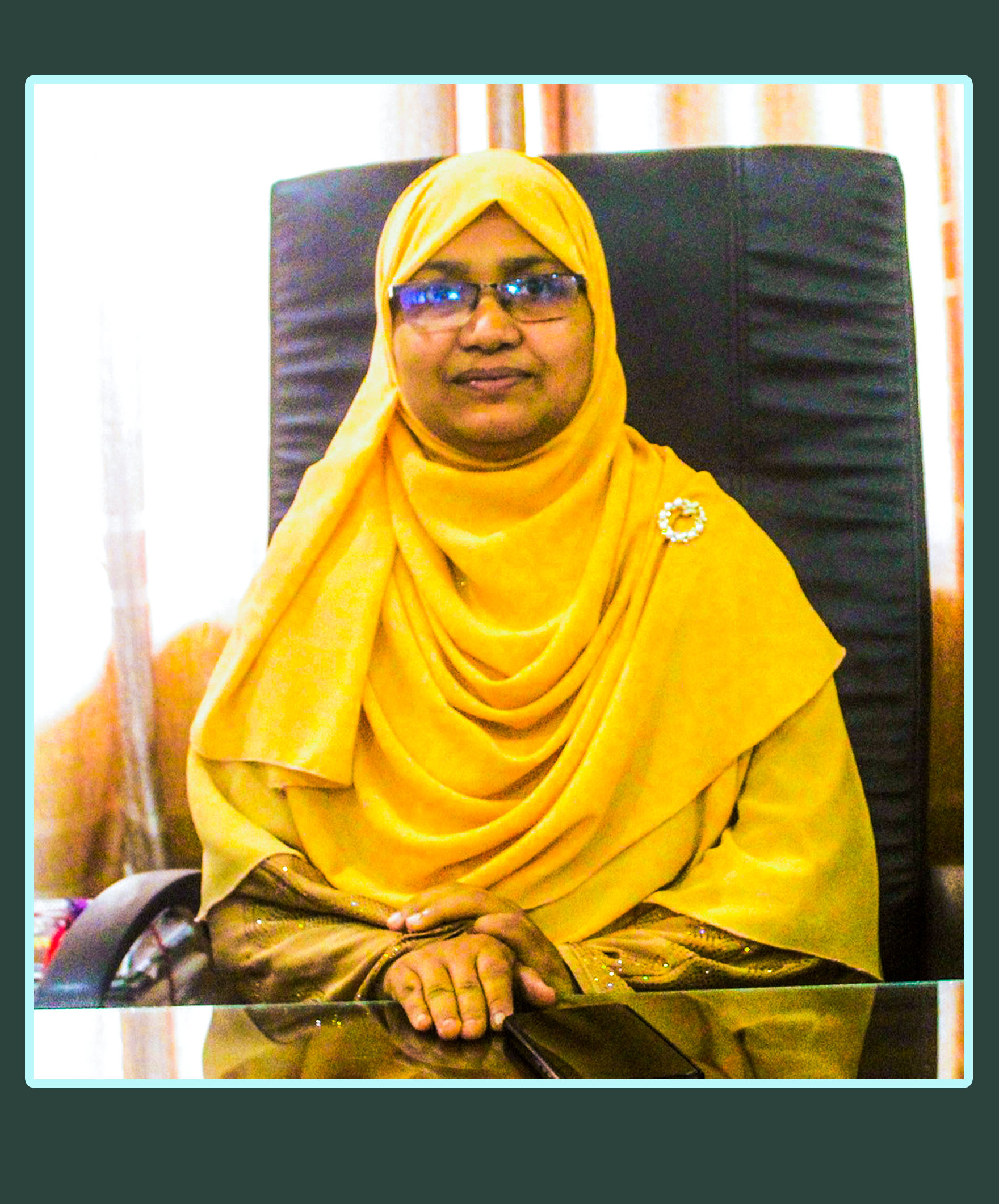
Mrs. A. L. I. Bhanu
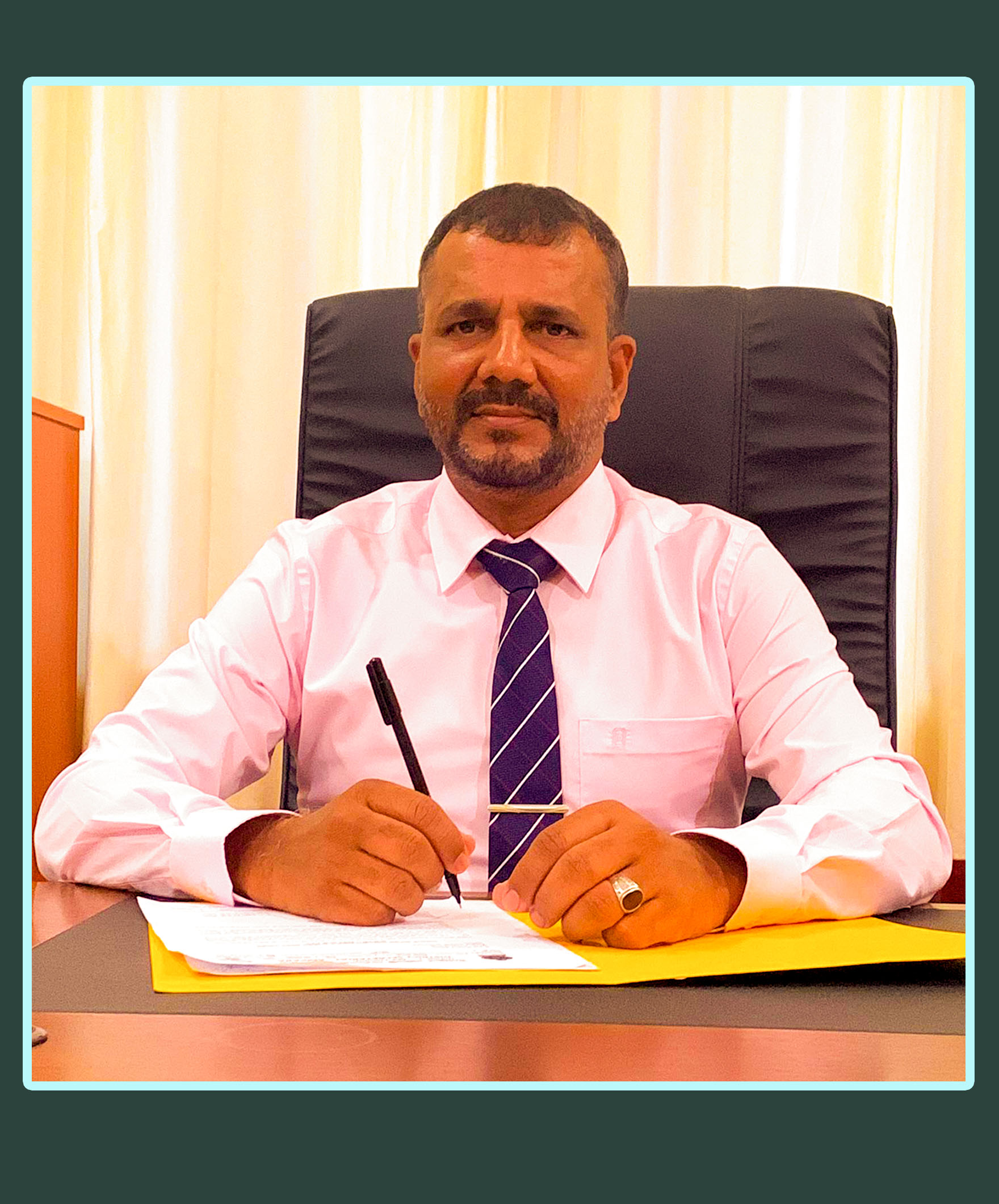
Mr. A. L. Mahroof

Mr. N. Ramesh
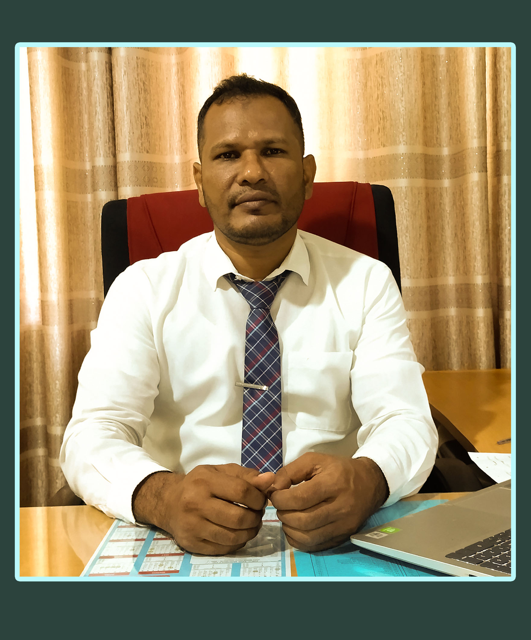
Mr. A. M. Zaheer

Mr. M. A. M. Munazir
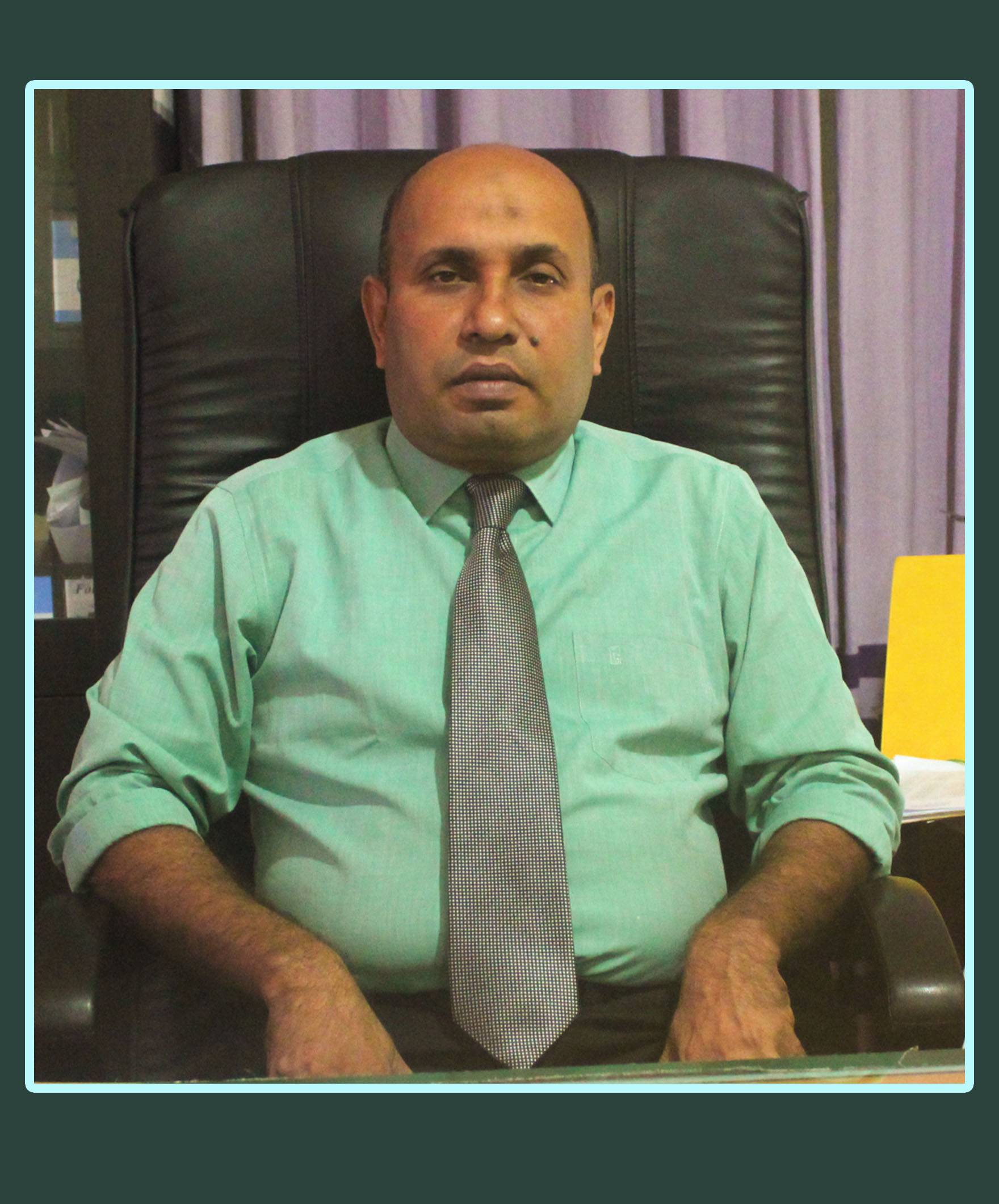
Mr. I. M. Fariz

Mr. H. B. Anees

Mr. A. A. H. M. Adhikari

Mr. Chamara Jayathilaka
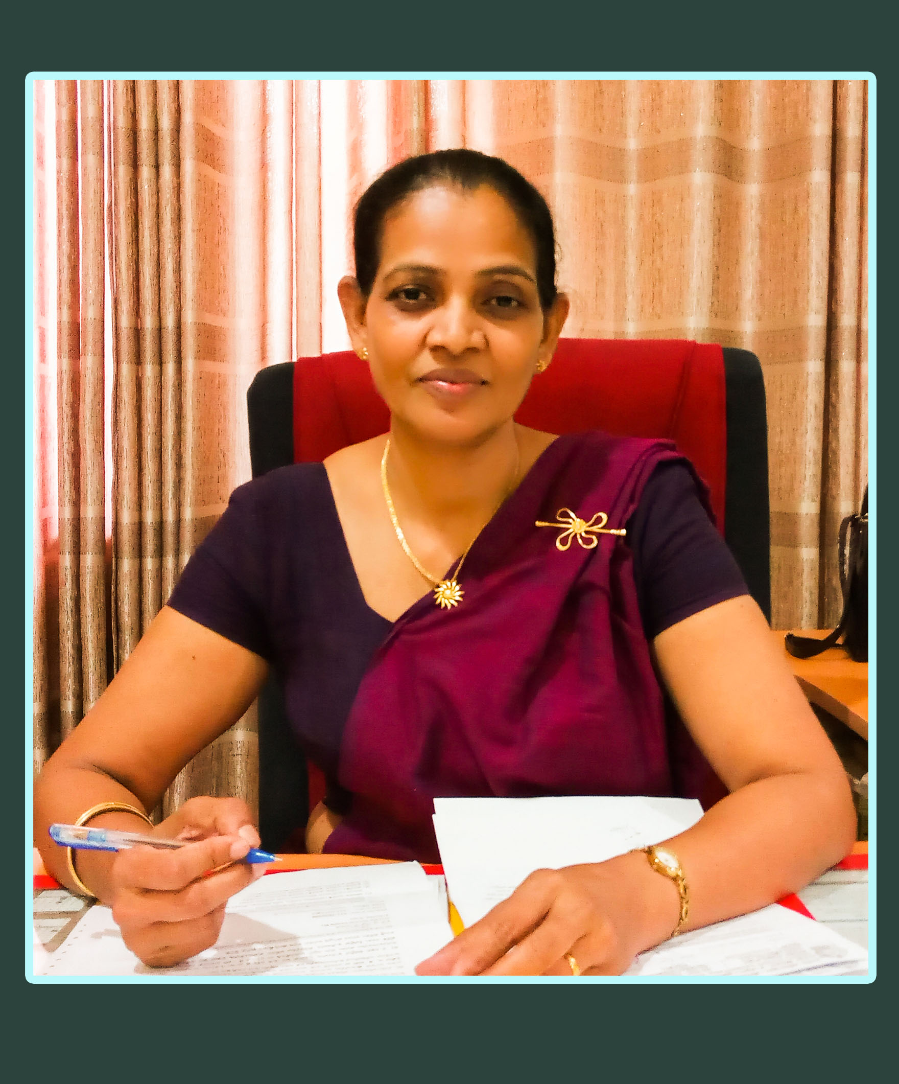
Mrs. Sriyani Padmalatha
Our Vision
A prosperous district with an awaken community.
Our Mission
To build a prosperous district with the community adopting decent and standard living consists in skills, creativity and wellbeing in the fabric of freedom, safety and fascination by managing all the resources of the district complying with good governance mechanism leading to sustainable development.
Values
- Customer friendly, service – sensitive, efficient staff.
- A working culture of instant solutions with modern and innovative approaches.
- Trustworthy service for all.
- Clean and green environment.
- A mechanism of good governance.
Digamadulla is an ancient colonization.According to the history of Wansha, this colonization made a strong political leadership.Anuradhapura was named as capital by King Pandukabhaya, the son of Diagagamini. Since then, Digamadulla was brought as a administrative region of kingdom of Anurapura and it become a grain store of the kingdom. When the Polonnaruwa fell down,It the political power set off to southwest area,it started to grow jungle in Digamadulla.Then, Digamadulla was brought under the administration of king of hill country and ruled by British authority in 1815.Digamadulla was given lower concern under the rule of British. As a result of this,bushes grew rapidly in this area.However, after the inland people had entered in to the administration at the end of British rule, the government focused on Digamadulla with regard to uplift the agriculture. Finally, the Galoya development scheme was started in 1949 under the administration of independent Sri Lanka.Though this area was developed within a short period under the proper plan,this area was declared as a district of proper administration on the name of Ampara in the year 1961.After some time, this district was declared as a electorate district according to the 13 chapter of 1978 constitution.
Ampara is the town of the district administration which gives full support for the development of agriculture in the eastern province of Sri Lanka.It is a significant point that there are three rivers and wildlife area within the surrounding of the town.
The total population of the district is about 648,057 according to 2012 census. It consist of 43.58% Sri lankan Muslim,38.73% Sinhalese and 17.39% Sri Lankan Tamil.
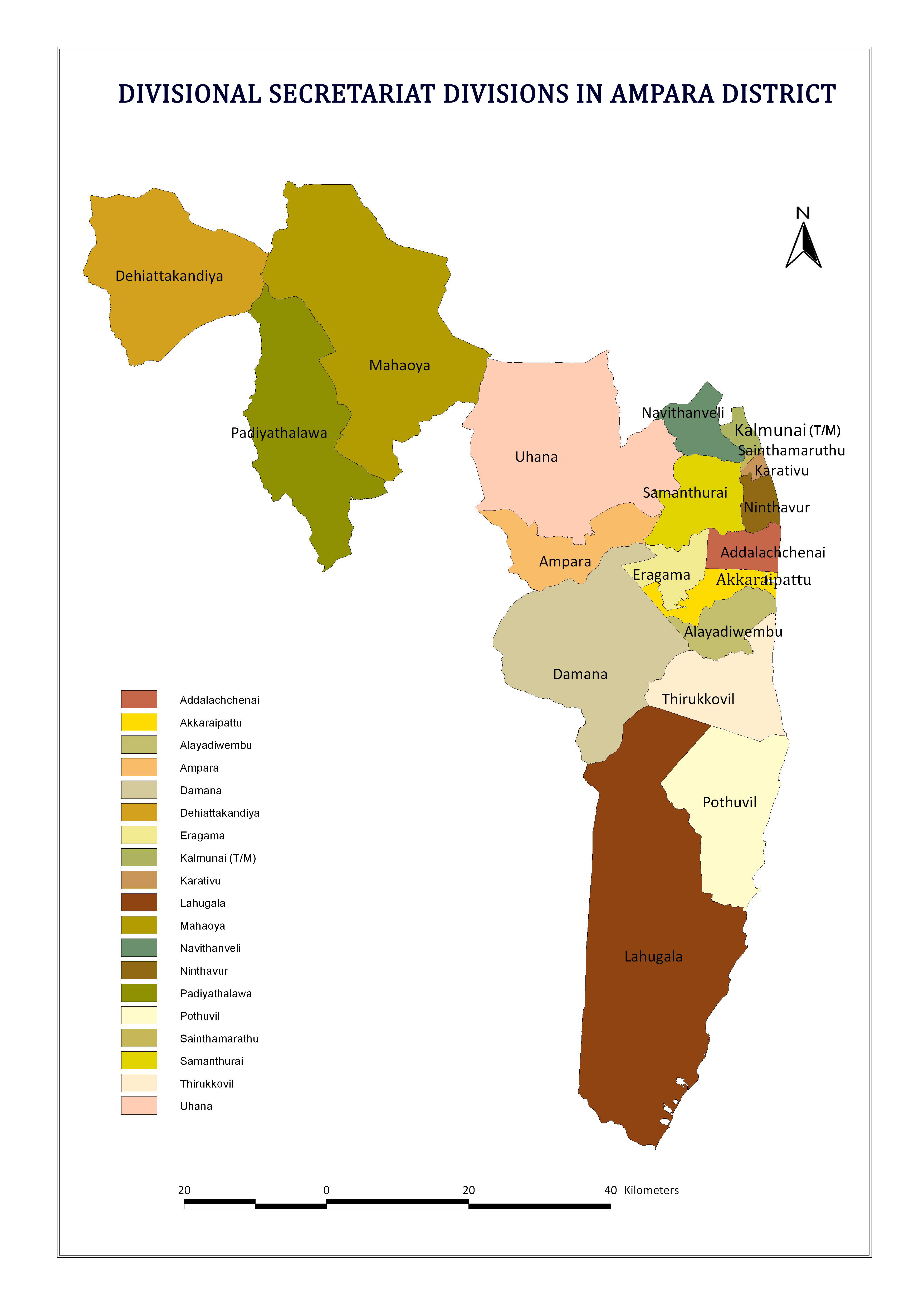
Ampara district consists of 19 divisional secretariat division and a assistant government agent Division.
There are plate land in the Ampara district according to the geological figure and there are many places with hills.The surface of Ampara district is 4415 square kilometers with consist of water area of 193square kilometers.
Boundaries of the Ampara District
- North - Edge of Batticaloa and Pollonnaruwa District boundary.
- East - Indian Ocean(Bengal Sea).
- South - Hambanthota District.
- West and Southeast - Monaragala District.
- Northwest - Badulla and Mathale District
Climate
The mean temperature is 30 0C. Highest temperature is 36 0C.The lowest temparature is 24 0C during December and January periods.The Ampara district is situated in the dry zone of the country and received an annual rainfall of 1400mm mainly during North-East monsoon season.The district experiences dry season from March to September and the rainy season from Octomber to February.
Divisional Secretariat Divisions in Ampara District